July 19 2014
6
19
/07
/July
/2014
12:40
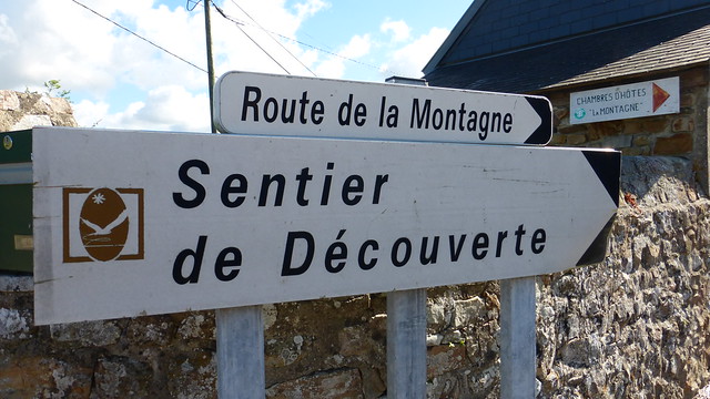
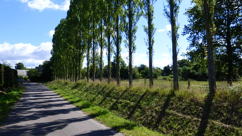
I went on yet another hike last weekend around Lessay which took me to several places of natural heritage including moors, forests, rivers and some charming little villages. To start, I had to park my car in the Fromagerie Réo parking lot and then find the signs that led to the sentiers de découverte of la Montagne. 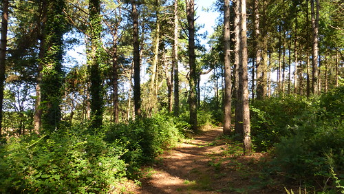
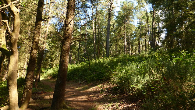
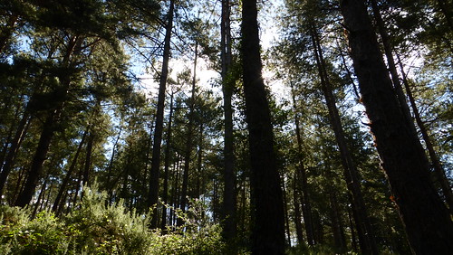
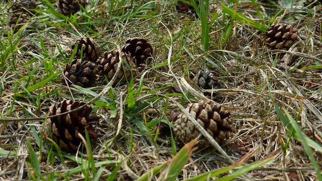 The best part of the entire walk is through this patch of pine forest which borders the Tourbière de Mathon, a peat bog or mire.
 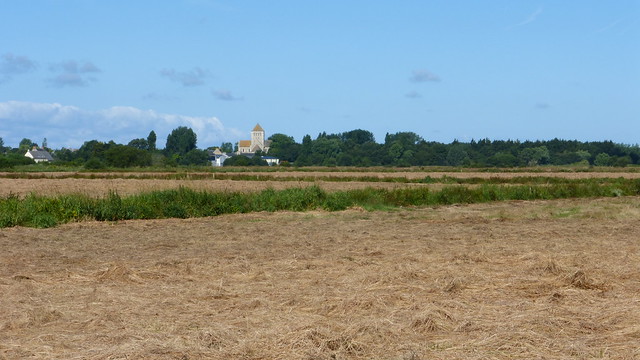 Across the tourbière you can see the abbey of Lessay in the distance.
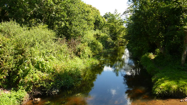
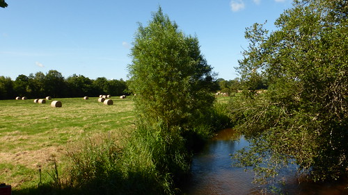 Parts of the walk take you across or along the coastal river of l’Ay which empties into the Channel only after flowing through Lessay and the great harbor of Saint-Germain-sur-Ay.
 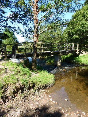 On July 29, 1944 American soldiers built a bridge over this river.
 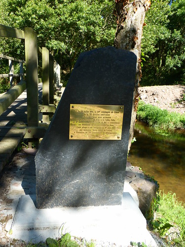 The bridge that exists here now is all that marks the spot except for a new memorial plaque which was erected here on June 7, 2014 to commemorate the D-Day landings.
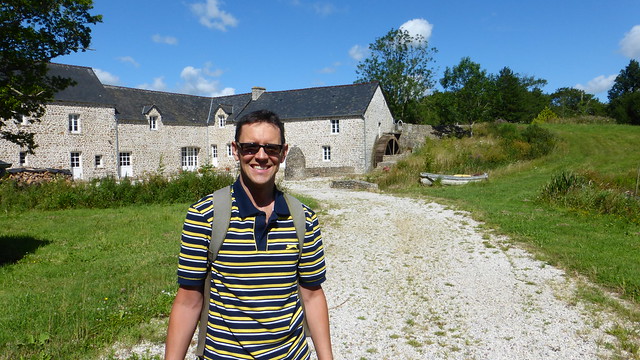
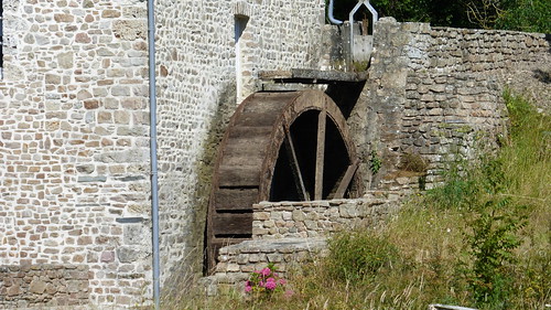
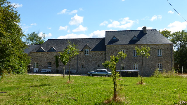 One of the places that the Manche tourism guide online says to see is the Moulin de Pissot in the village of Pissot. Unfortunately, their map and their directions are completely wrong. With a little effort on my own part before heading out, I was able to create my own map and had no problems finding the newly restored mill.
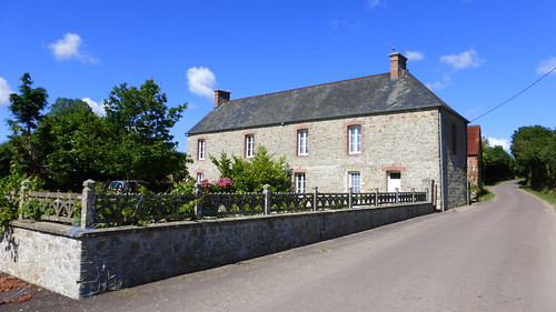
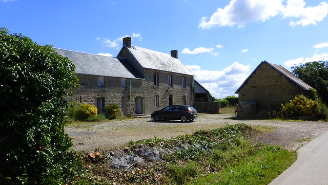
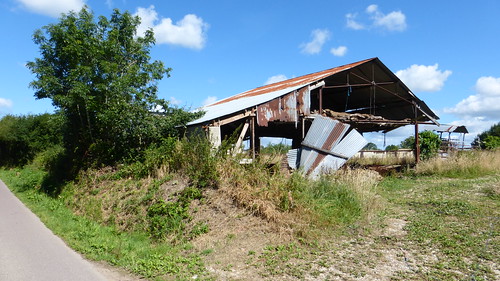
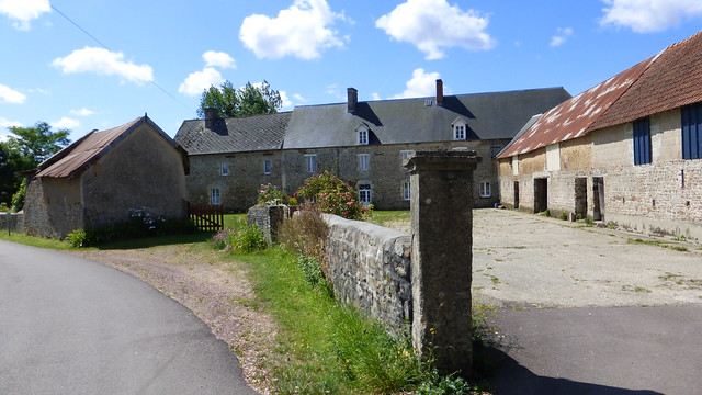 There are not many large mansions or castles to see along this hike but you can’t help finding some dignified farm houses along the way.
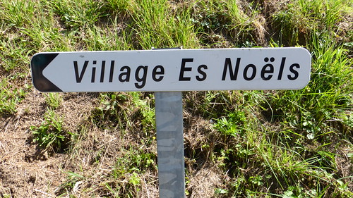
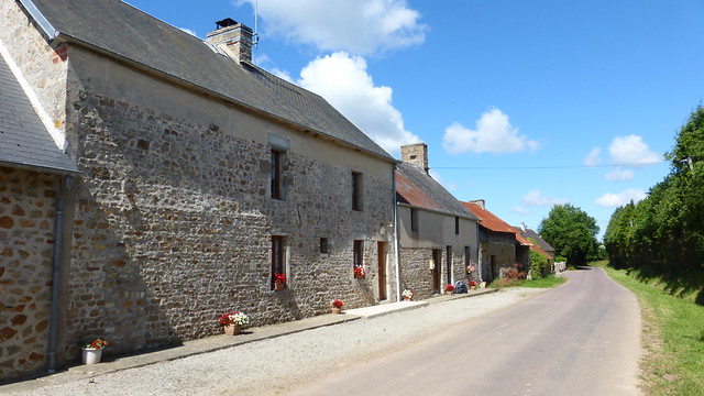
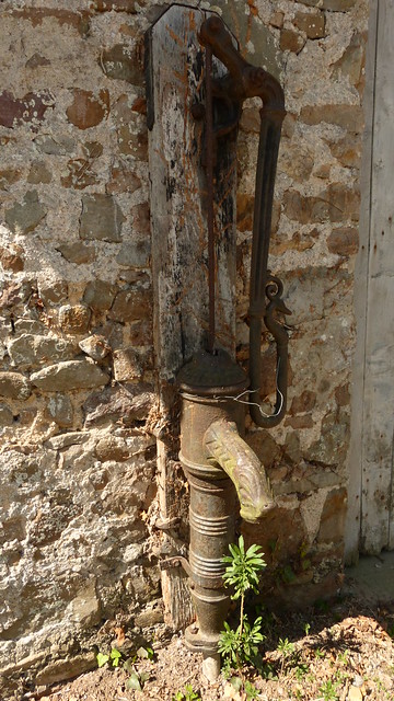 On the way back, through the route de Renneville, I came across a small village made up of three or four houses which had the most appealing name: Village es Noëls which could probably mean the village of Noël or even the village at Christmas. Who knows ? I thought it was attractive.
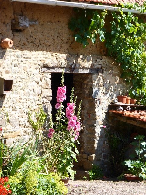
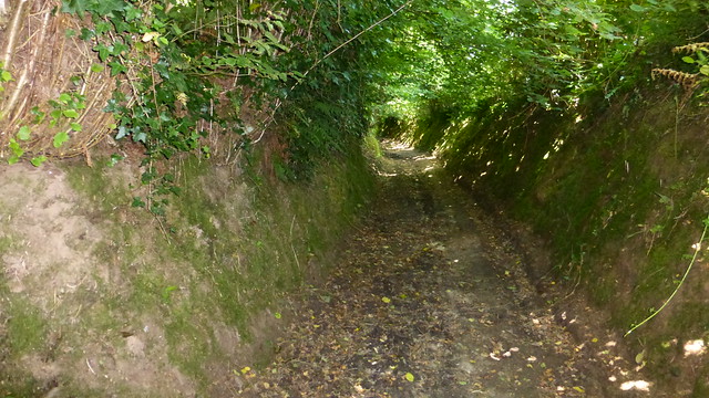
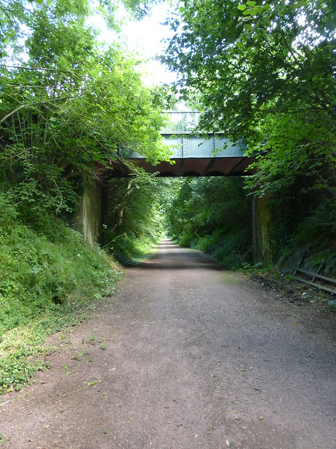 Past some more interesting houses and even a short stint through a covered hedgerow, I eventually came to the old railway line which once connected Coutances with Sottevast for over 100 years. It closed in 1984 and is now a green path between Cambernon and Rocheville (Bricquebec).
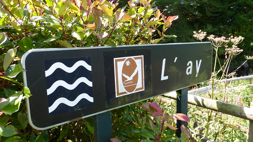
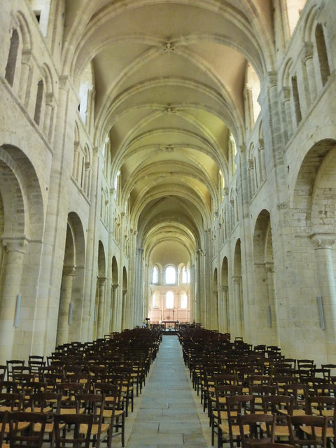
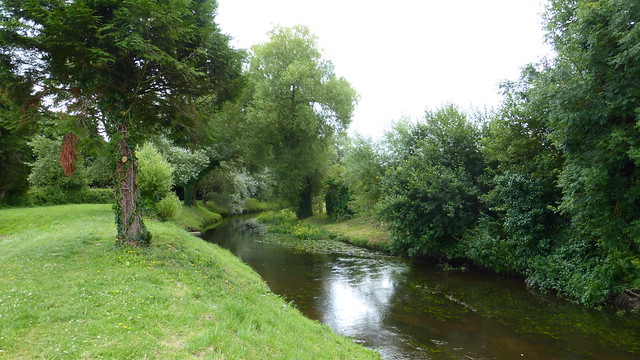 After getting back to town and following the River Ay, I took a much needed rest and ate my lunch in the shadow of the abbey. The Abbaye de Lessay is an 11th century Benedictine abbey that once flourished in Normandy. It has a rather ironic history in that it was one of the few monasteries that managed to stay perfectly preserved throughout the 18th and 19th centuries.
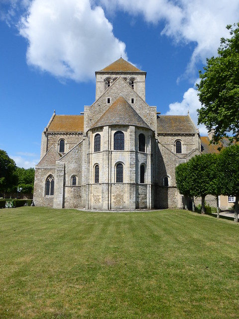
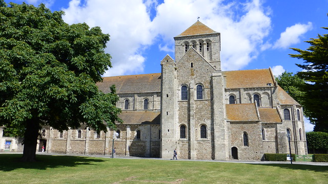 Unfortunately, it was completely destroyed by retreating Germans on July 11, 1944 during World War II. In 1945 the abbey church and its former monastic buildings underwent a remarkable restoration carried out under the direction of Yves-Marie Froidevaux, Chief Architect of Historic Monuments, using archived material that was preserved in Paris. In 1958, the church opened again for services. Today, the monastery buildings are privately owned and not open to visitors. Every summer, concerts are held in the abbey.
Published by The Baguette
-
in
Nature
May 1 2014
4
01
/05
/May
/2014
12:15
Published by The Baguette
-
in
Nature
May 1 2014
4
01
/05
/May
/2014
11:52
Published by The Baguette
-
in
Nature
April 25 2014
5
25
/04
/April
/2014
07:55
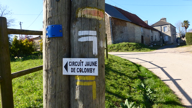
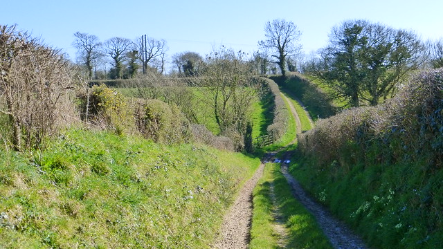
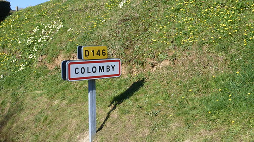
A few weeks ago I took a hike near the small town of Colomby near Valognes. After reading the alluring description online, I ended up walking over ten kilometres along mostly muddy pathways and farmers’ roads. Although the walk was rather short, it was not as delightful as the website hinted. Nonetheless, I had a wonderful time and would definitely encourage people to do this hike—although I would add that it should be done only when there hasn’t been any rain. The trails are enlivened by protective hedges that separate fields and forests, small winding streams and several stops amidst small villages with stone farmhouses.  The name of the circuit is “Cul de Fer” which could either be translated as railway line or ass of fire—there is no hint of either along the route.
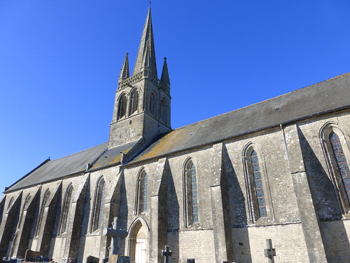
 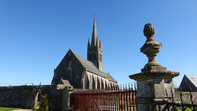 One of the first remarkable spots along the circuit was the Église-Saint-George in Colomby. It is from the 13 and 14 centuries and is purely Gothic in style. Sadly, it was closed the afternoon I was there and couldn’t see the interior.
 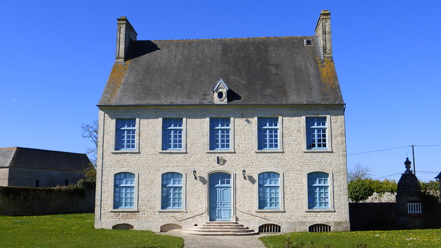 Right beside it is the town hall. Before leaving town, I stopped to admire a huge stone farmhouse called the Varangerie.
 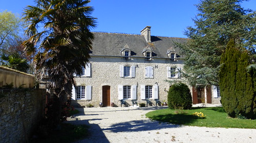 There are lots of buildings like this in the area.
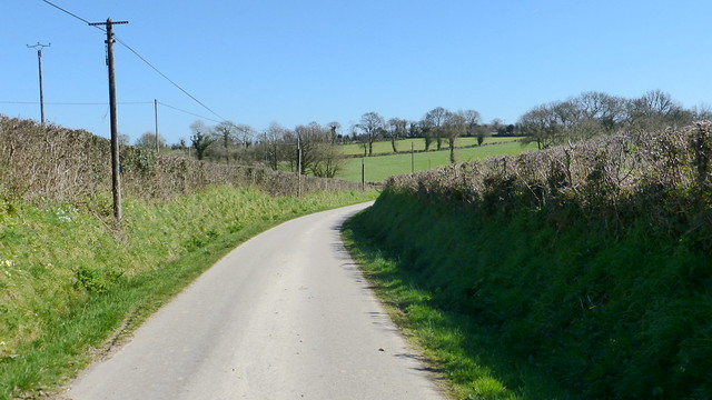
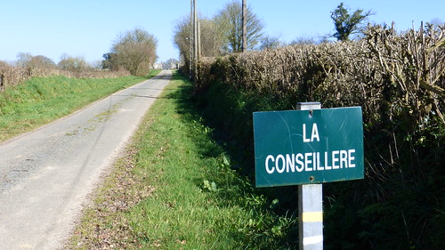
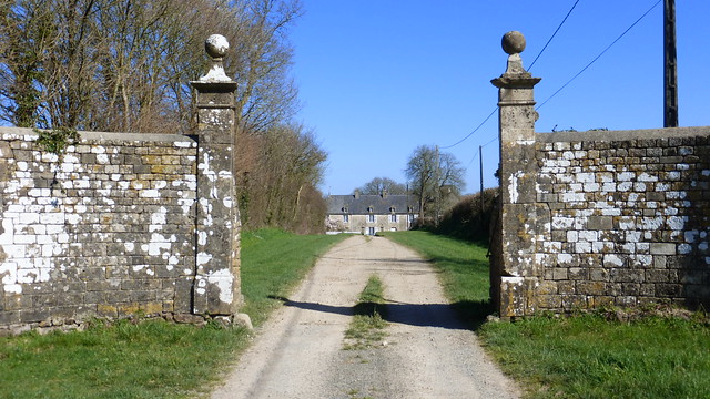 La Conseillère is just another one of those amazing stone farms along the route. It is reached through an imposing gate but something told me that I shouldn’t go much further than that. It seemed like it was a private property so I didn’t stray very far from the marked path.
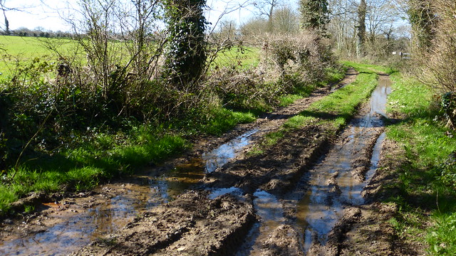
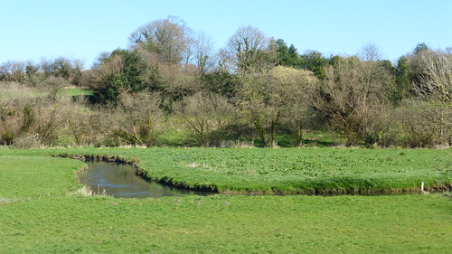
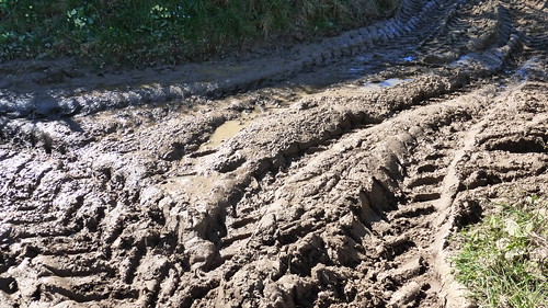
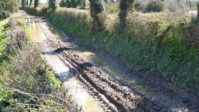
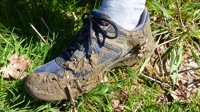 To be quite honest, it wasn’t so much a path as it was ankle deep mud. Perhaps I should have turned around and gone back to my car but something told me that this part of the route would only get better. It didn’t. There was a lot more mud to get through—much of the time I was trying to walk around it by going through fields or walking higher along the hedgerows. It wasn’t easy and my hiking shoes became caked in mud.
 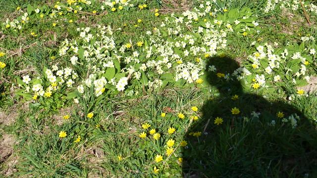 Still, there were some very nice views of the countryside and the many countless, wild primevère in bloom to admire.
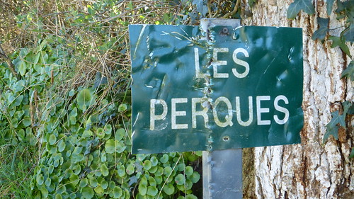
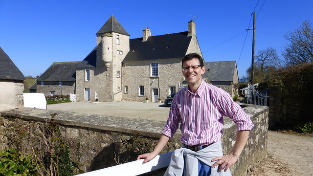 This is le manoir des Perques, a beautiful stone house with a massive turret. At one time it was believed that his house was a keep along what used to be a busy road.
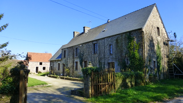 After more hills and even more mud, I eventually came to the small village of Boudosville which is remarkable for its grouping of stone buildings like this one.
 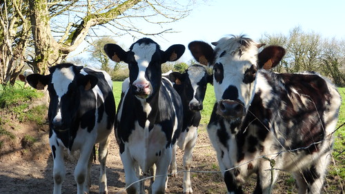 It was here I met a group of friendly cows who were curious as to what I was doing on their property.
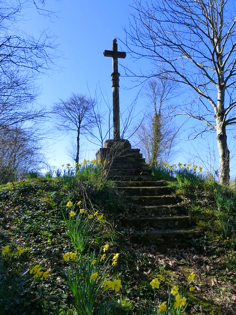
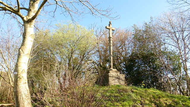 The small village of Boudosville is marked by a crucifix surrounded with daffodils and a few picnic benches where hikers like me could take a little break.
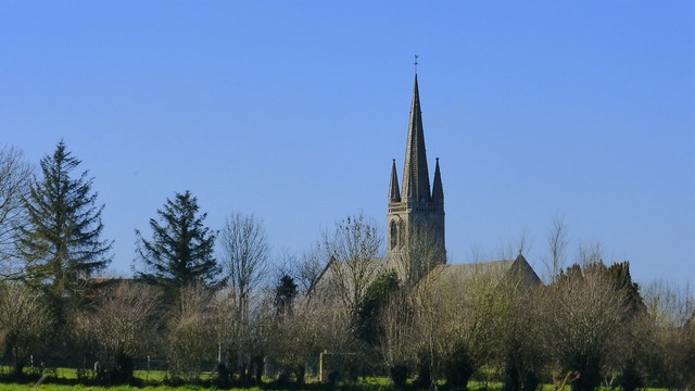
 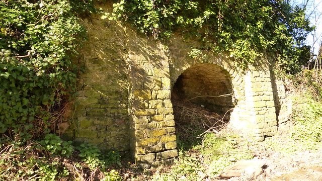 Nearby are the old lime kilns (fours à chaux) which produced the mortar used in building houses in the nearby area. The end of the hike brings you back into Colomby and offers stunning views of the church from a great distance.
Published by The Baguette
-
in
Nature
April 17 2014
4
17
/04
/April
/2014
12:07
Published by The Baguette
-
in
Nature
March 14 2014
5
14
/03
/March
/2014
12:06
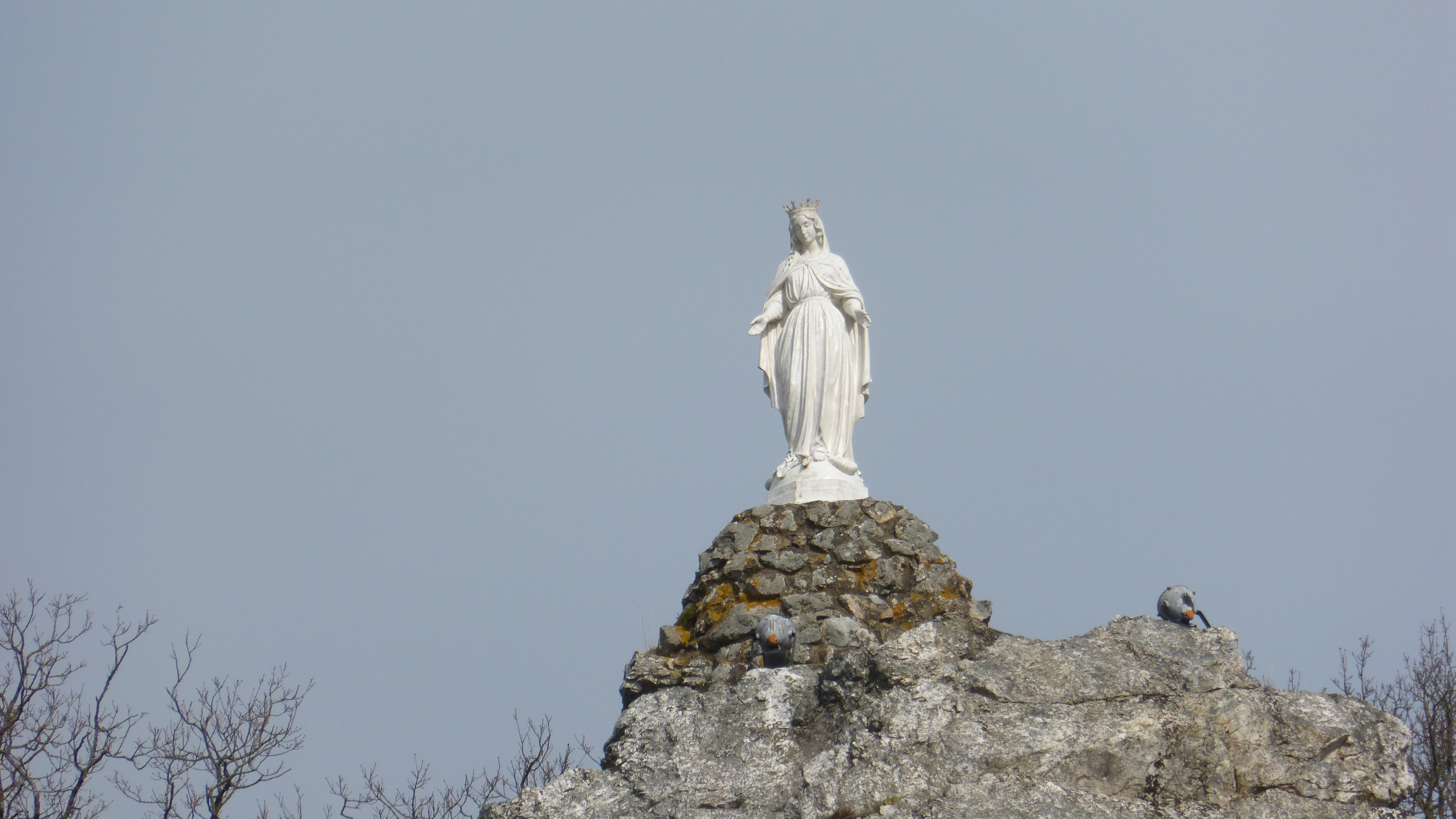
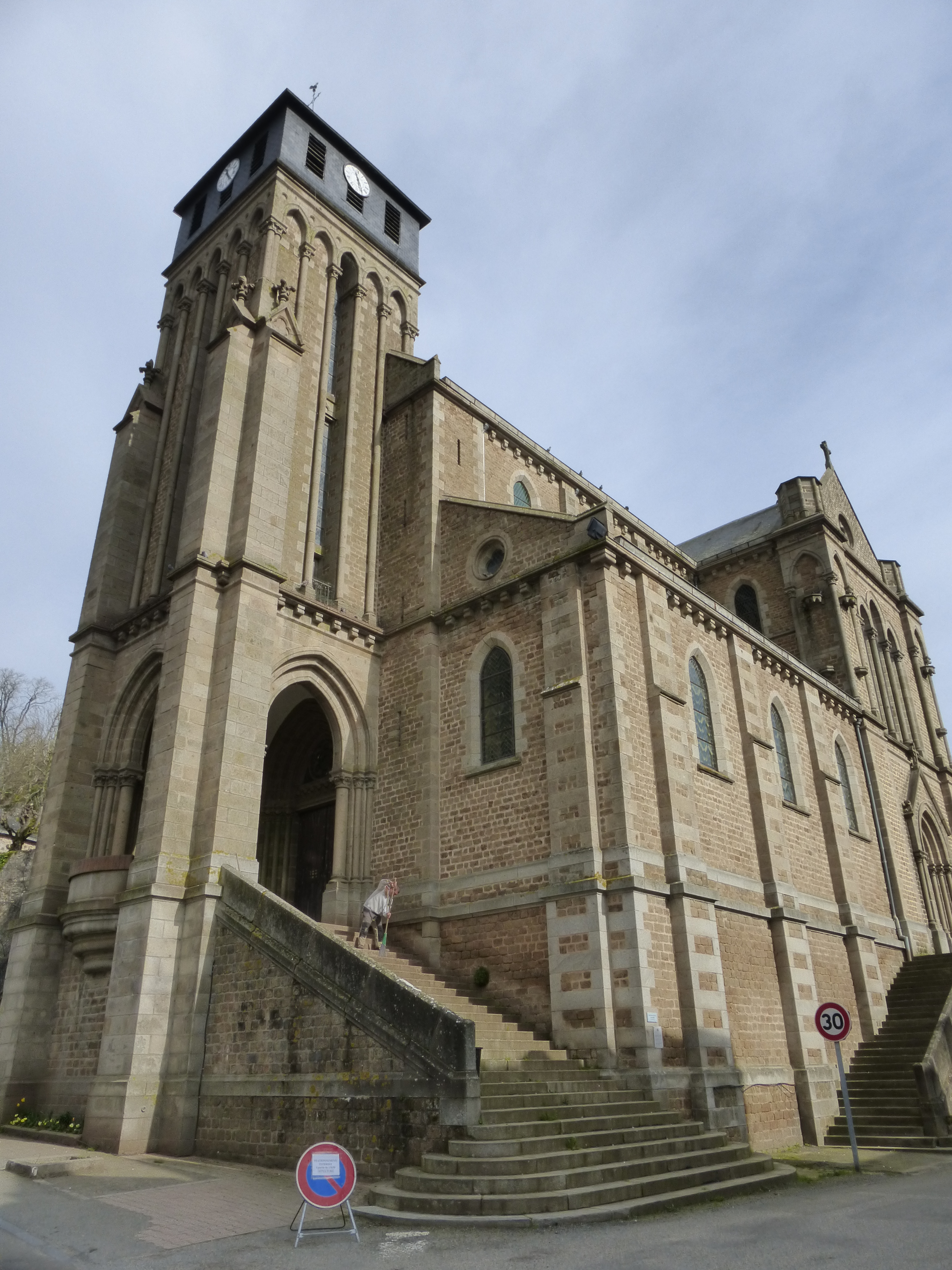
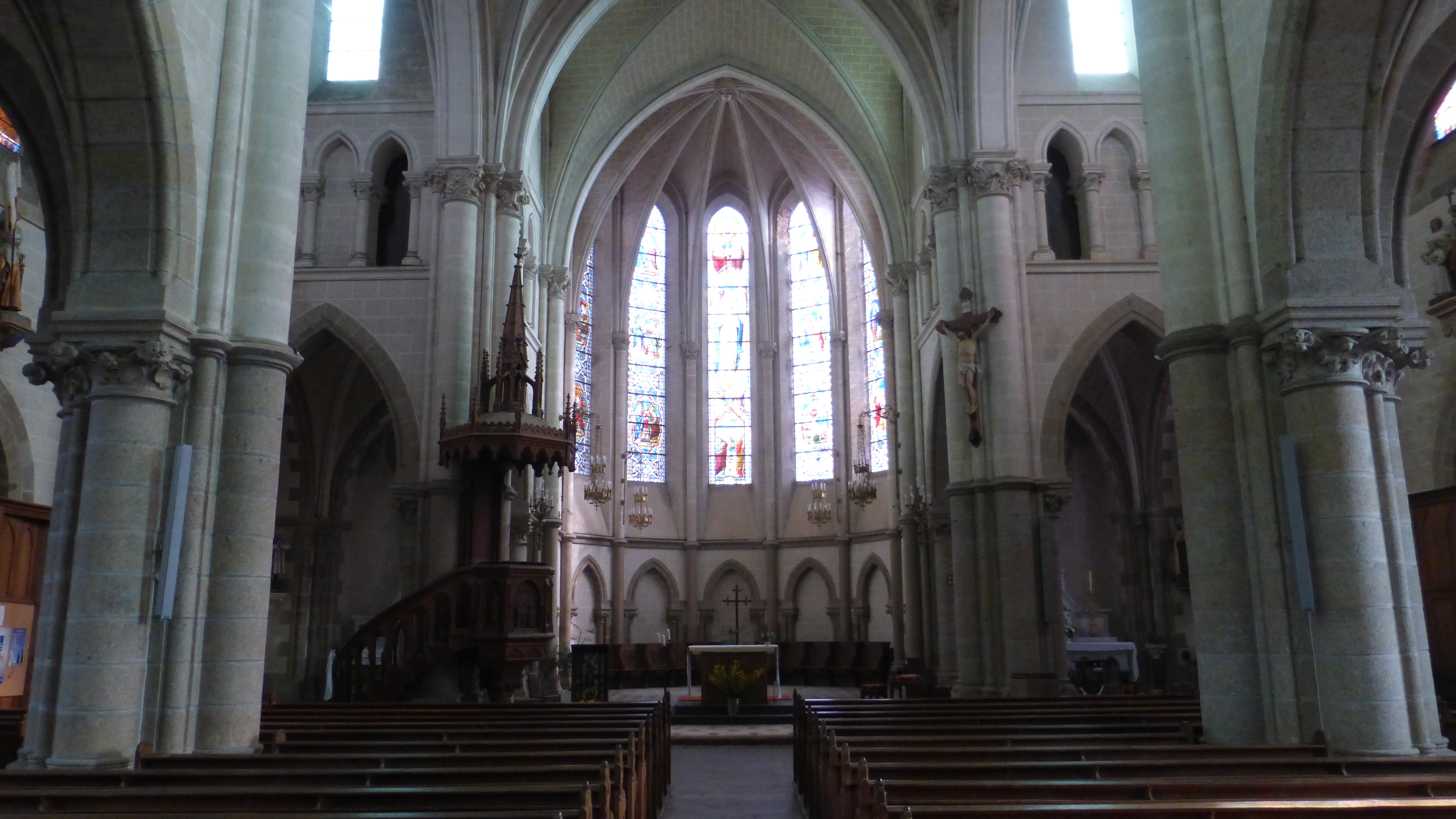
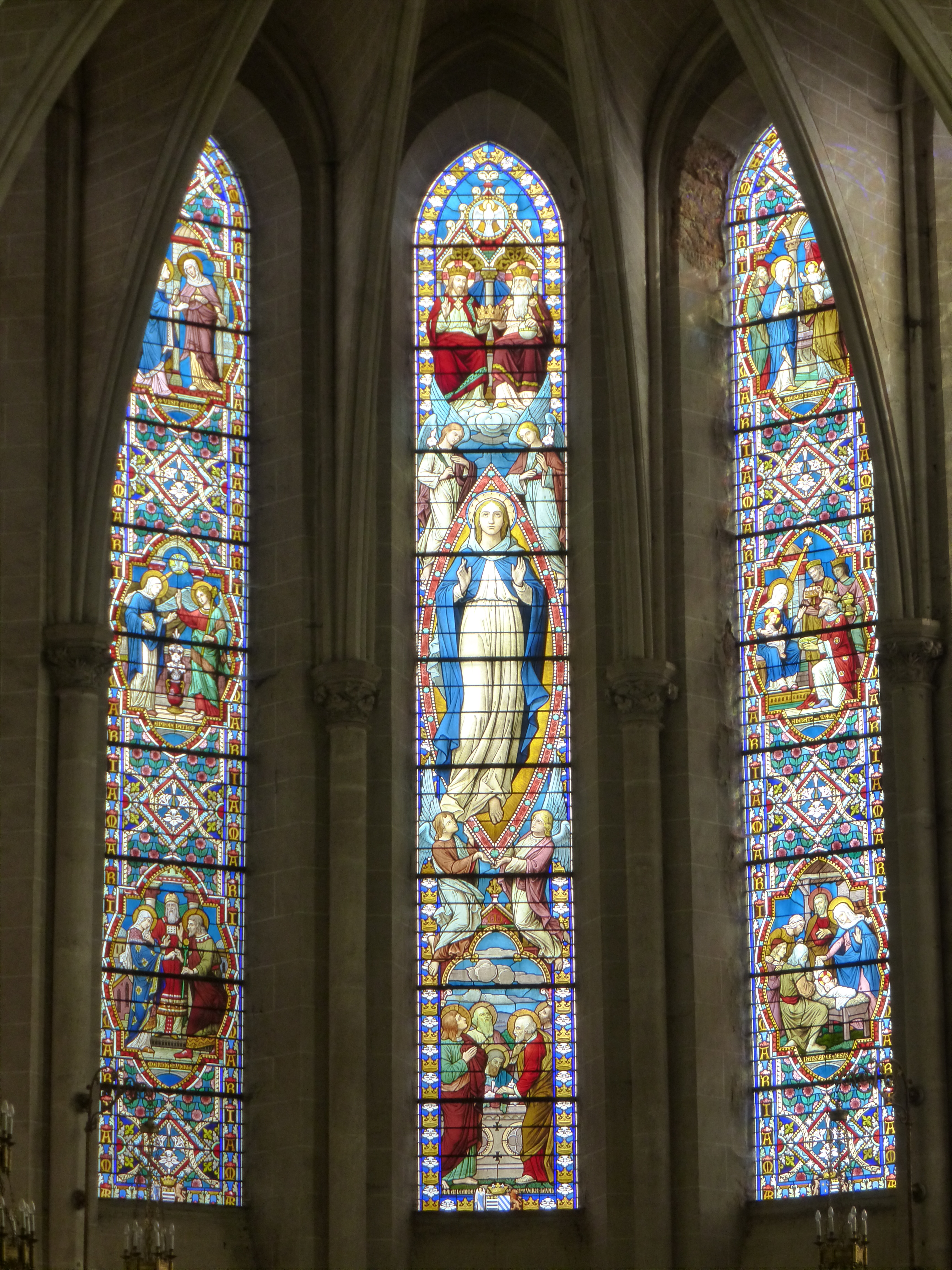
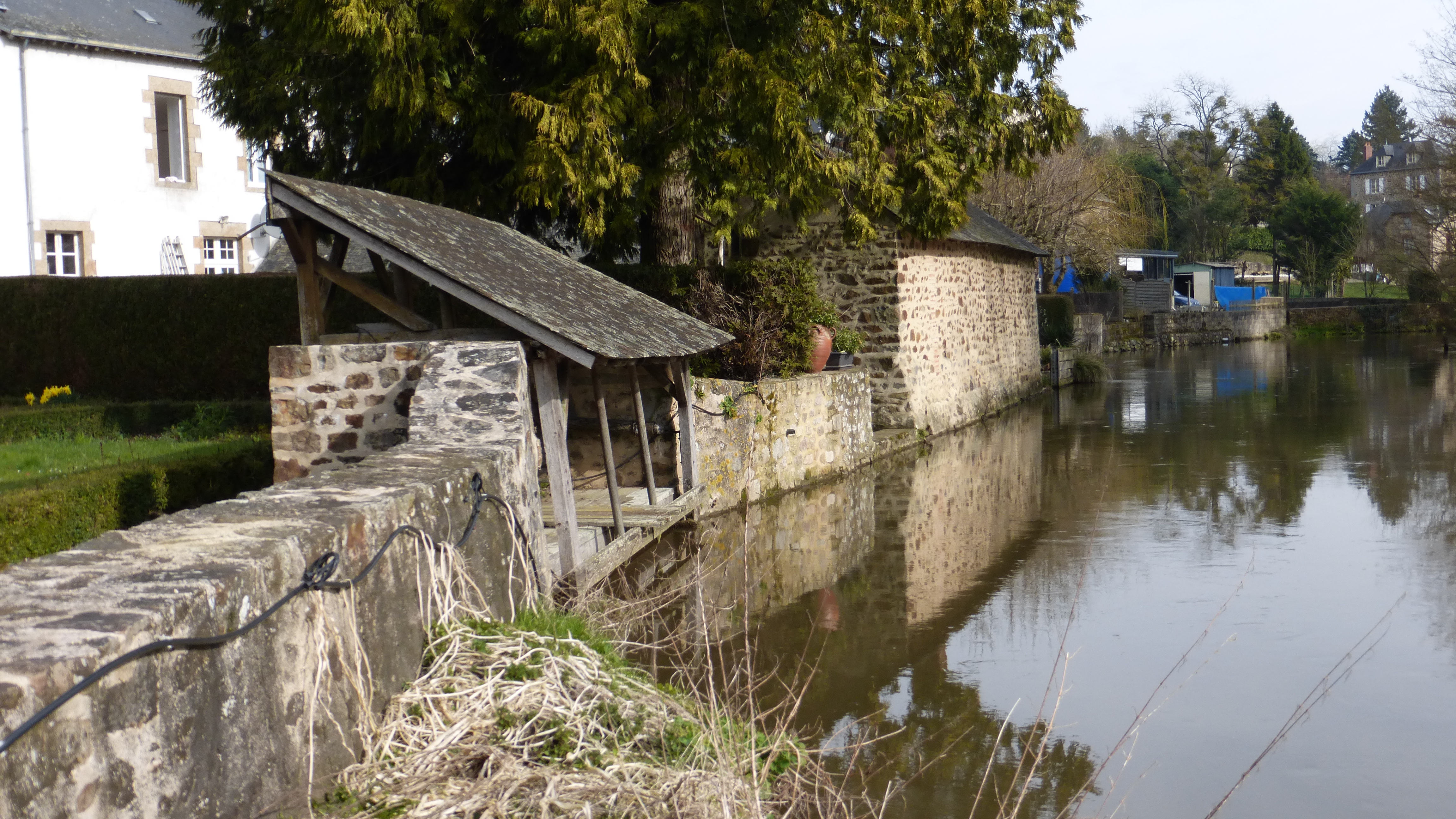
So yesterday I told you all about Pontmain and the apparition of the Virgin Mary which has brought it so much fame. What I failed to tell you was that was my first stop on my trip to the Mayenne last weekend. I had such a wonderful time—especially since we have been having such warm and sunny weather. It only seemed right that I should get out of the house and enjoy it as much as possible. I’m sorry I’ve not been posting lately but I will try to make a comeback and give you all the details of my recent adventures as well as updates on trips that I took last summer but have failed to blog about. Bear with me. Anyway, the second stop on Friday morning after visiting Pontmain was the little village of Chailland. It is designated as one of the most beautiful villages in France (petite cité de caractère) and is famous for its rocky cliffs that surround the town and the River Ernée. During Easter, over 100 years ago in 1913, the citizens of Chailland erected a statue of the Virgin Mary on the highest rock above the village. She still stands watch over the valley and is a popular destination for hikers. I spent an hour climbing to the summit, winding through the public gardens blooming with daffodils and crocuses before descending in order to visit the parish church, the ancient water mill and the medieval lavoir along the river.
Published by The Baguette
-
in
Nature
December 22 2012
6
22
/12
/December
/2012
09:18
Published by The Baguette
-
in
Nature
November 1 2012
4
01
/11
/November
/2012
08:07
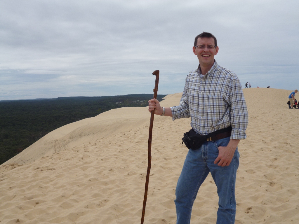
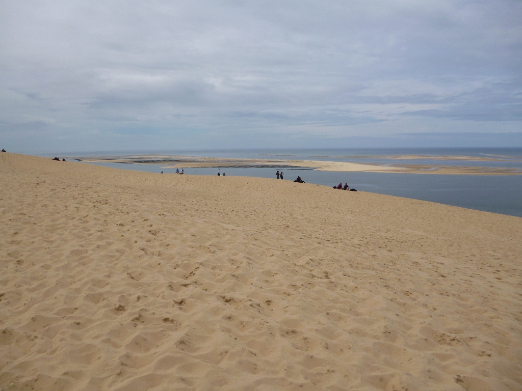
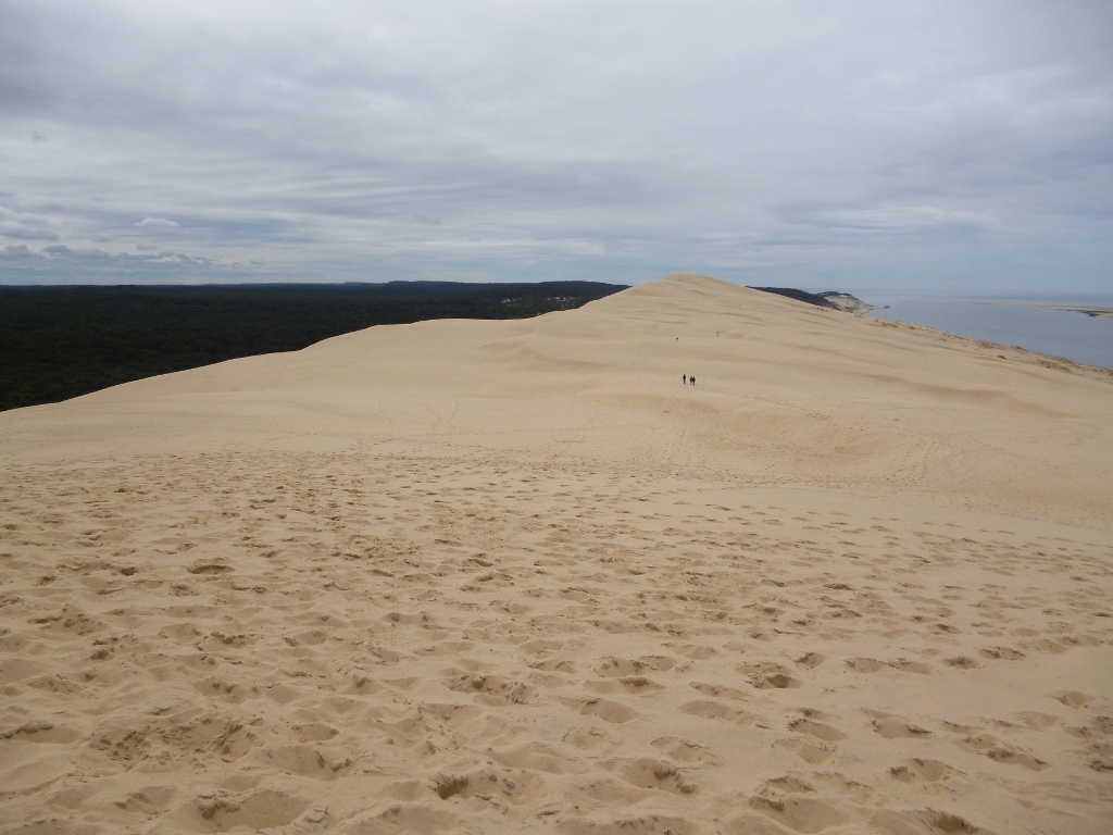
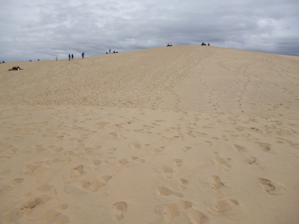
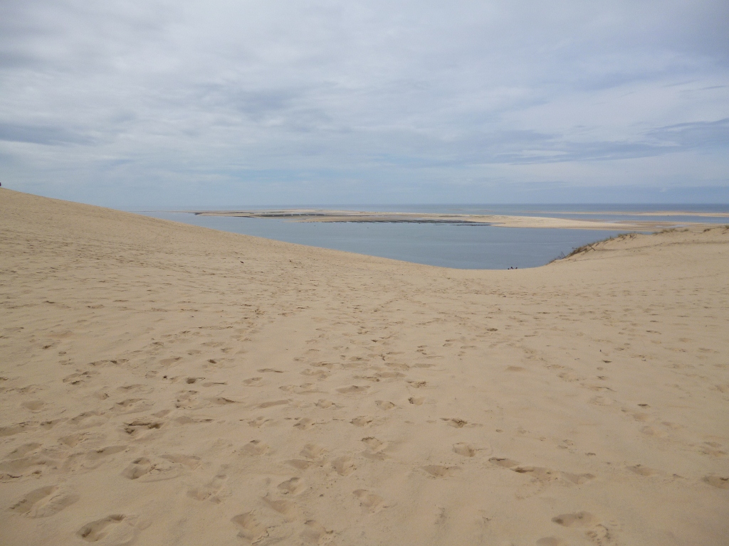
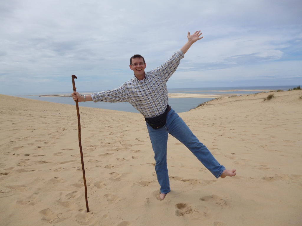
Sixty kilometres south of Bordeaux is the Dune du Pilat. At 114 meters, the highest sand dune in Europe, it is 2.7 kilometers long and 500 meters wide. The west face slopes gently towards the Atlantic rollers, whereas the hollowed landward side to the east drops to the pines below. It is a popular tourist attraction within the Bassin d’Arcachon with over a million visitors each year.
Published by The Baguette
-
in
Nature
March 21 2012
3
21
/03
/March
/2012
22:09
Published by The Baguette
-
in
Nature
March 19 2012
1
19
/03
/March
/2012
22:02
Published by The Baguette
-
in
Nature


 The best part of the entire walk is through this patch of pine forest which borders the Tourbière de Mathon, a peat bog or mire.
  Across the tourbière you can see the abbey of Lessay in the distance.
 Parts of the walk take you across or along the coastal river of l’Ay which empties into the Channel only after flowing through Lessay and the great harbor of Saint-Germain-sur-Ay.
  On July 29, 1944 American soldiers built a bridge over this river.
  The bridge that exists here now is all that marks the spot except for a new memorial plaque which was erected here on June 7, 2014 to commemorate the D-Day landings.


 One of the places that the Manche tourism guide online says to see is the Moulin de Pissot in the village of Pissot. Unfortunately, their map and their directions are completely wrong. With a little effort on my own part before heading out, I was able to create my own map and had no problems finding the newly restored mill.


 There are not many large mansions or castles to see along this hike but you can’t help finding some dignified farm houses along the way.

 On the way back, through the route de Renneville, I came across a small village made up of three or four houses which had the most appealing name: Village es Noëls which could probably mean the village of Noël or even the village at Christmas. Who knows ? I thought it was attractive.

 Past some more interesting houses and even a short stint through a covered hedgerow, I eventually came to the old railway line which once connected Coutances with Sottevast for over 100 years. It closed in 1984 and is now a green path between Cambernon and Rocheville (Bricquebec).
 After getting back to town and following the River Ay, I took a much needed rest and ate my lunch in the shadow of the abbey. The Abbaye de Lessay is an 11th century Benedictine abbey that once flourished in Normandy. It has a rather ironic history in that it was one of the few monasteries that managed to stay perfectly preserved throughout the 18th and 19th centuries.
 Unfortunately, it was completely destroyed by retreating Germans on July 11, 1944 during World War II. In 1945 the abbey church and its former monastic buildings underwent a remarkable restoration carried out under the direction of Yves-Marie Froidevaux, Chief Architect of Historic Monuments, using archived material that was preserved in Paris. In 1958, the church opened again for services. Today, the monastery buildings are privately owned and not open to visitors. Every summer, concerts are held in the abbey.


